
Airport Overview
The Mao national airport is an IATA and ICAO coded airport with passable airport infrastructure including an asphalt runway and basic passenger and cargo screening. The airport can experience strong winds so caution must be undertaken upon approach.
|
Airport Location and Contact |
|
|---|---|
|
Country |
Chad |
|
Province or District |
Kanem |
|
Nearest Town or City |
Mao 1.6 km |
|
Airport’s Complete Name |
Mao National Airport |
|
Latitude |
N14°08'42" |
|
Longitude |
E015°18'54" |
|
Elevation (ft and m) |
1070 ft / 326 m |
|
IATA Code |
AMO |
|
ICAO Code |
FTTU |
|
Managing Company or Airport Authority |
ASECNA |
|
NGO and/or UN Presence at Airport? |
Yes |
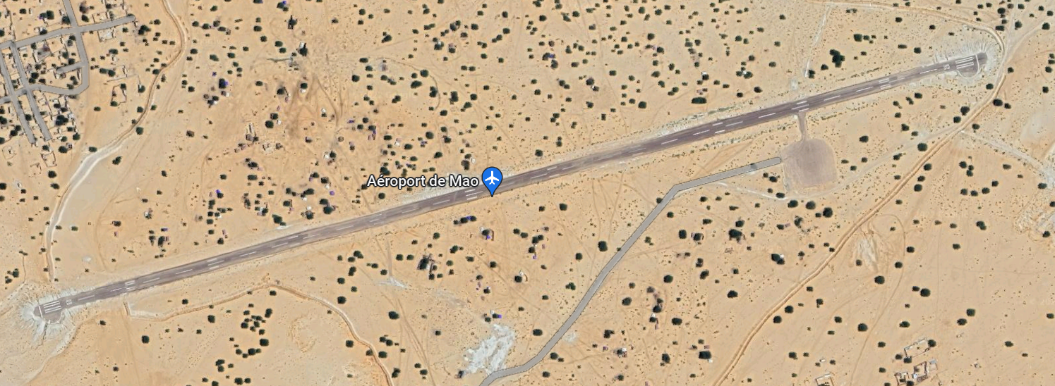
Airport Picture

Runway(s)
|
Runway #1 |
|
|---|---|
|
Runway Dimensions |
1700 m x 20 m |
|
Runway Orientation |
RWY 08 / RWY 26 |
|
Runway Surface |
Asphalt |
|
Runway Condition |
Good |
Airport Infrastructure Details
|
Infrastructure |
|||
|---|---|---|---|
|
Passenger / Cargo Security Screening |
Yes |
Runway Lighting |
No |
|
Refuelling Capacity |
No |
Ground Handling Services |
No |
|
Air Traffic Control |
Yes |
Fire Fighting Equipment |
No |
|
Weather Information |
Yes |
Aircraft Parking Space |
Yes |
|
Navigation Aids |
Yes |
Perimeter Fencing |
No |
|
Windsock |
Yes |
|
|
