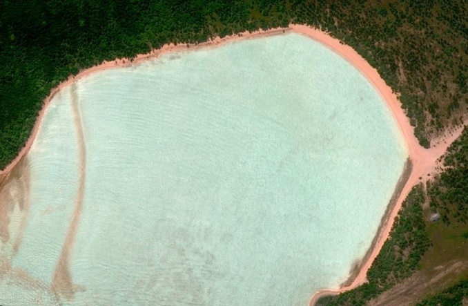
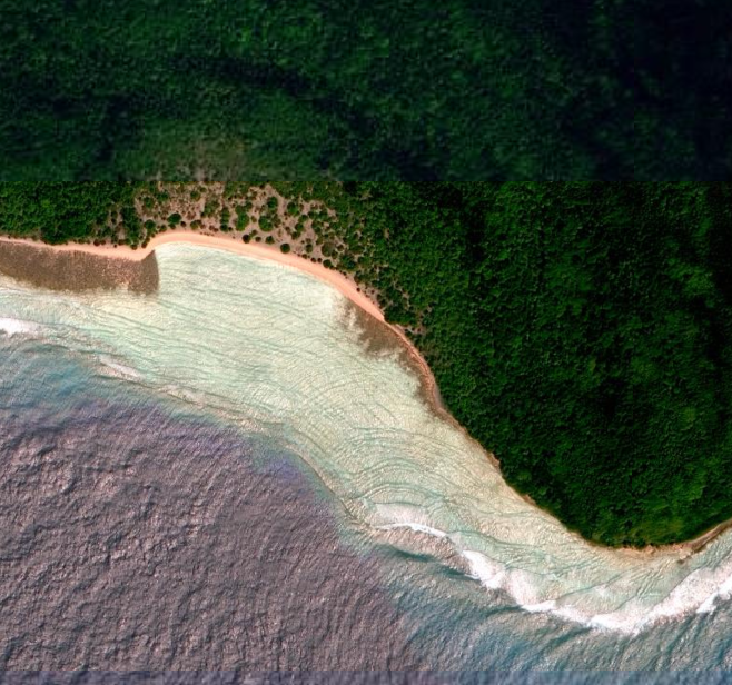
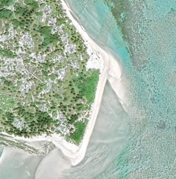
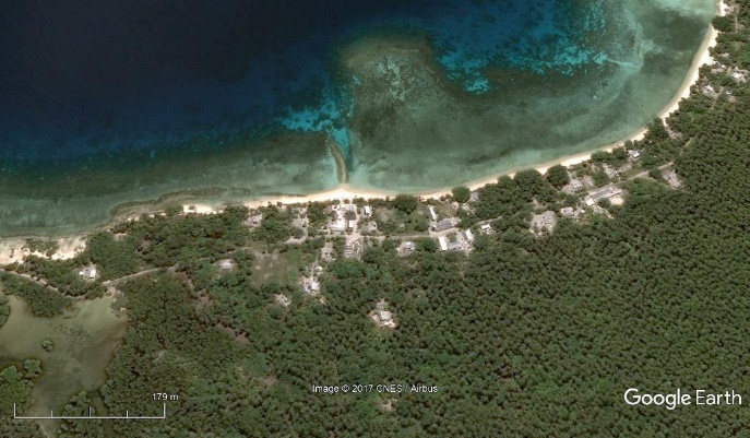
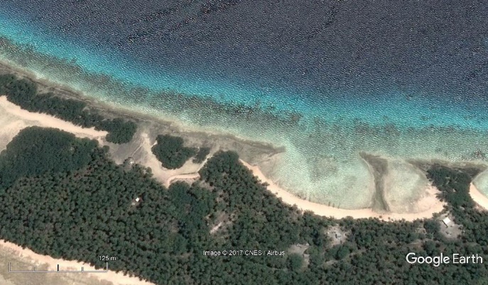
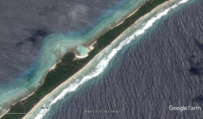
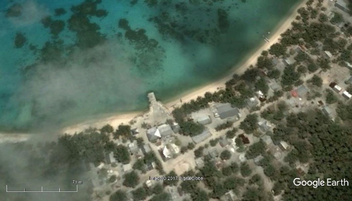
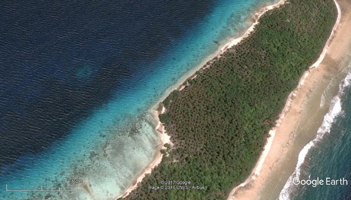
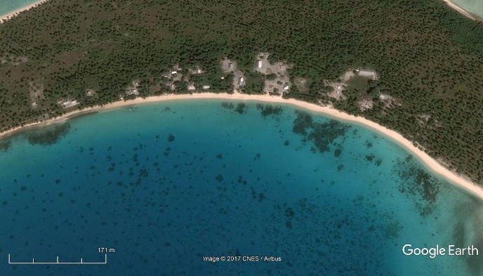
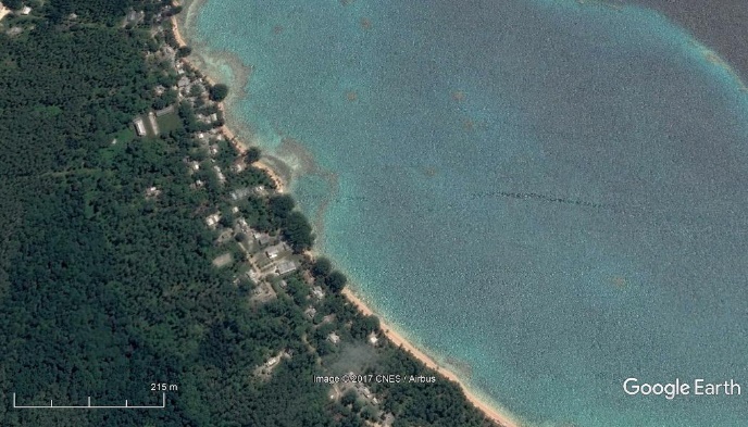
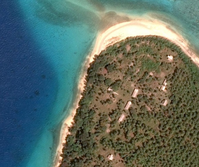
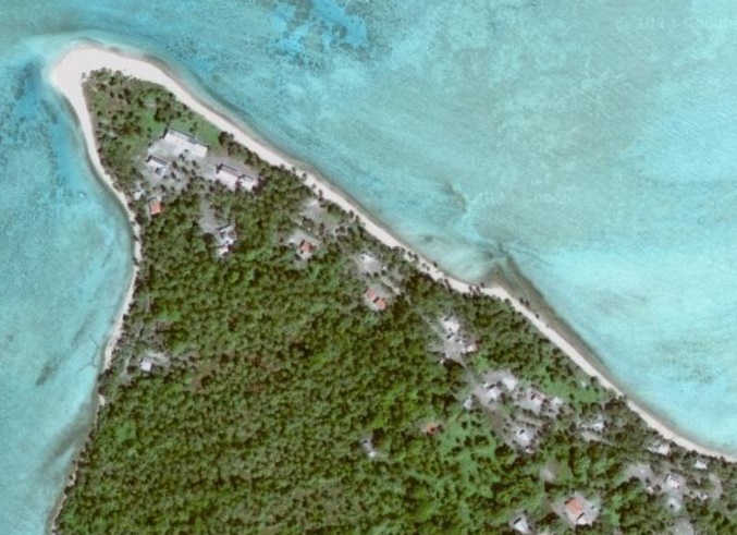
Use of waterways as inter-island shipping is the primary link between Majuro and the outer islands, ensuring delivery of food and other daily commodities, education, health care and economic development, and plays a role in responding to climate change impacts. There are no significant rivers on any of the country’s numerous islands. The largest bodies of water are generally small ponds or lagoons.
Inter-island shipping is mainly operated by the Marshall Island Shipping Company (MISCO), a state-owned commercial enterprise shipping services throughout the country. Few private entities also run shipping services throughout the islands. There are no dedicated passenger services, but freighters and other vessels sometimes have passenger cabins. Small cargo boats sail between Majuro, Arno, and other smaller atolls, and many private yachts also offer charter voyages.
Shipping Companies
MISCO is the only scheduled shipping operator in RMI. There are few private companies, including PII, Charles Dominick and Tobolar coconut processors, who own private vessels for their own business purposes. PII has landing craft to move heavy plant and machinery between islands for construction services. Tobolar use their landing craft to collect copra for processing in Majuro. While these vessels are operated by companies for their own purposes, they can be chartered if available. RRE (Robert Reimers Enterprises) in Majuro also operate small vessels on charter as well as deep sea fishing boats.
MISCO operates LOLO freighters (>400 mt), one 440 mt landing craft and one 225 mt sailing boat. There are no dedicated passenger services, however the MISCO freighters have 4 cabins. Otherwise, passengers travel on the deck. The average number of passengers per year is 1,374. The average number of cargo transported is 9,176 mt.
Currently, MISCO is providing service to the seven sectors within the Republic of the Marshall Islands as listed below:
- Ratak Rak (Eastern) - Arno Atoll and Milil Atoll
- Ratak Iolap (Eastern) - Aur Atoll, Maloelap Atoll and Wotje Atoll
- Ratak Ean (Northern) - Mejit Island, Utrik Atoll, Ailuk Atoll and Likiep Atoll
- Ralik Rak (Southern) Jaluit Atoll, Kili Island, Namdrik Island and Ebon Atoll
- Iolap (Central) - Ailinglaplap Atoll
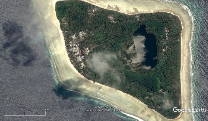
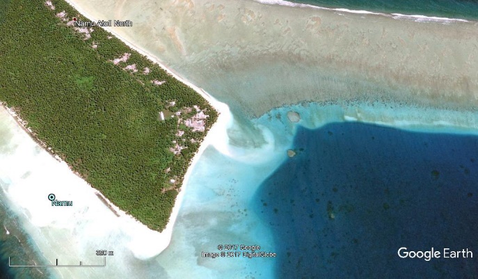
- Iolap Ean (Central) - Jabwot Island, Namu Atoll and Lib Island
- Kabinmeto (Western) - Lae Atoll, Ujae Atoll, Wotho Atoll, Enewetak Atoll and Ebeye Atoll
MISCO is based on its mandated role to provide at least four trips annually to each sector, meaning the trip should take place after three months. MISCO is operating five vessels:
- SV Kawai - Sailing type, 225 Gross Ton
- MV Aemman - Cargo & Passenger type, 534 Gross Ton
- MV Enenkio - Cargo & Passenger type, 765 Gross Ton
- MV Kwajalein - Cargo & Passenger type, 583 Gross Ton
- MV Ribuuk Meto - Landing craft type, 440 Gross Ton
For more information on waterway company contact details, please see the following link:
4.4 Port and Waterways Companies Contact List
For more information on government contact details, please see the following link:
Passenger Carrying Capacity
|
|
Marshall Islands Shipping Company |
USAG Kwajalein |
Robert Reimers Enterprises |
|||
|---|---|---|---|---|---|---|
|
Number of Passenger Vessels < 20 Passengers |
2 |
- |
2 Charter vessels |
|||
|
Number of Passenger Vessels < 50 Passengers |
3 |
- |
- |
|||
|
Number of Passenger Vessels < 100 Passengers |
- |
Ferry for use between Kwajalein and Ebeye |
- |
|||
|
Passenger Carrying Capacity |
||||||
|
|
MISCO |
Marshall Islands Towing and Salvage Company |
Pacific International Inc. (PII) |
|||
|
Boats |
||||||
|
Number of Boats |
5 |
- |
- |
|||
|
Tonnage / Volume Carrying Capacity |
225-765 mt |
- |
- |
|||
|
Tugs |
||||||
|
Number of Tugs |
- |
2 |
3 |
|||
|
Tonnage / Volume Carrying Capacity |
- |
344 mt/ 2000 HP |
MT Ralik II, MT Ratak, LT-804 (former US Army) 350 mt/ 300 HP |
|||
Travel Time Matrix
|
Travel Time from Main port to other major Ports on Marshall Islands shipping Company 500 mt freighters (travel time expressed in days) |
|||||
|---|---|---|---|---|---|
|
Majuro |
Kwajalein |
Ebeye |
Jaluit (Outer Islands) |
Enewetak (outer Islands West) |
|
|
Majuro |
2 |
2 |
0.5 |
4 |
|
|
Kwajalein |
2 |
0.1 |
2 |
2 |
|
|
Ebeye |
2 |
0.1 |
2 |
2 |
|
|
Jaluit |
0,5 |
2 |
2 |
2 |
|
|
Enewetak |
4 |
2 |
2 |
2 |
|
Key Routes
All shipping is open ocean shipping and is susceptible to sea currents and the seasonal climatic situation.
Ocean swells are greater during the November to February period with the increase of easterly trade winds. During these time there are increases in travel time.
|
Outer Island Shipping Service Route |
Atoll/Island |
Designated Points of Call |
|---|---|---|
|
Central |
Ailinglaplap
|
Airuk |
|
|
Buoj |
|
|
Mejel |
||
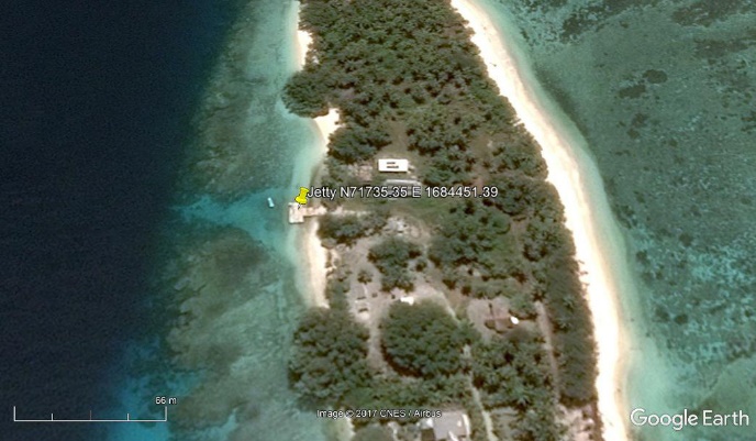
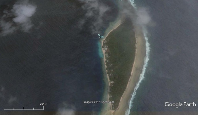
|
Jeh |
||
|
Kattiej |
||
|
Woja |
||
|
Jabat |
Jabat |
|
|
Lib |
Lib |
|
|
Namu |
Loen |
|
|
Mae |
||
|
Majkin |
||
|
Namu |
||
|
Eastern |
Arno
|
Arno |
|
|
Bikarej |
|
|
Ine |
||
|
Tinak |
||
|
Ulien |
||
|
Aur |
||
|
Tabal |
||
|
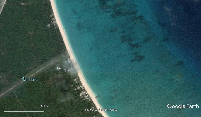
Mili |
Enajet |
|
|
Lukonwor |
||
|
Mili |
||
|
Nadikdik |
||
|
Nallu |
||
|
Tokewa |
||
|
Northern |
Ailuk |
Ailuk |
|
|
Enejelar |
|
|
Likiep
|
Likiep |
|
|
Jebal |
||
|
Melang |
||
|
Liklal |
||
|
Maloelap
|
Airok |
|
|
Jang |
||
|
Kaben |
||
|
Taroa |
||
|
Wolot |
||
|
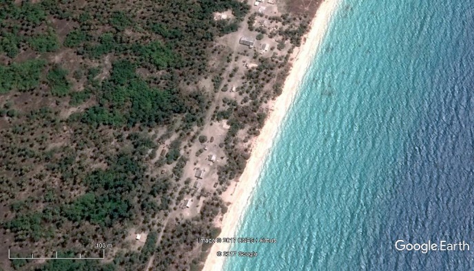
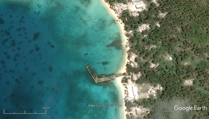
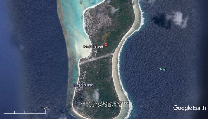
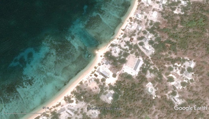
Mejit |
Mejit |
|
|
Utirik |
Utirik |
|
|
Wotje
|
Enepin |
|
|
Kaijen |
||
|
Kimajo |
||
|
Nibun |
||
|
Wormej |
||
|
Wotje |
||
|
Southern |
Ebon
|
Ebon |
|
|
Enekoion |
|
|
Toka |
||
|
Jaluit |
Bokanake |
|
|
Imiej |
||
|
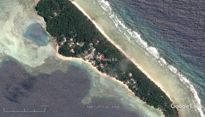
Imroj |
||
|
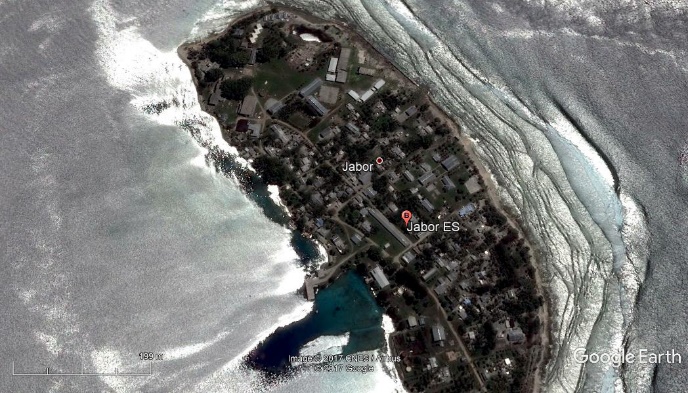
Jabwor |
||
|
Jaluit |
||
|
Mejrirok |
||
|
Narmej |
||
|
Namdrik |
Namdrik |
|
|
Kili |
Kili |
|
|
Western |
Enewetak |
Enewetak |
|
|
Medren |
|
|
Japtan |
||
|
Lae |
Lejab |
|
|
Lae |
||
|
Enerein |
||
|
Ujae |
Ujae |
|
|
Wotho |
Wotho |
|
|
Majurwon |
||
|
Kwajalein |
Ebeye |
|
|
Mejatto |
||
|
Ebadon |
||
|
Kwajalein |
||
|
Santo |
||
|
Gugeegue |
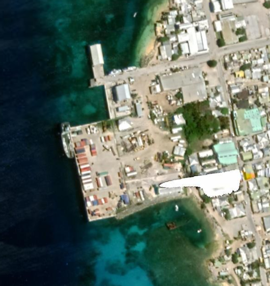
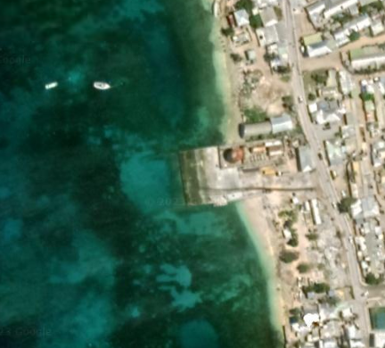
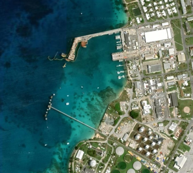
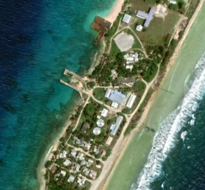
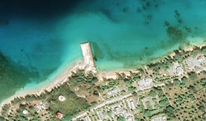
Port Information
|
Key Port Information Also see Port information |
|||||
|---|---|---|---|---|---|
|
Delap Dock |
Uliga Dock |
Kramer Dock |
Ebeye Dock |
Kwajalein |
|
|
Location |
Majuro |
Majuro |
Majuro |
Ebeye |
Kwajelein |
|
Connections with Other Transport Means |
Local Road/ Airport |
Local Road/ Airport |
Local Road/ Airport |
Road |
Road |
|
Storage Capacity |
Temporary storage at Stevedores 100 m2 also Procurement Stores 100 m2 |
MISCO Transit WH 400 m2 |
Unknown |
No Storage only Temporary Container: Temporary |
Unknown |
|
Customs Clearance Available |
Yes |
Yes |
Yes |
Yes |
Yes |
|
Other Comments |
PII developed a net repair yard and tuna transshipment services for the purse seine industry in Majuro. Here a purse seiner offloads frozen tuna into shore-based freezer containers for later shipment to other countries. |
Part of USAG Operations Kwajalein. Not for civilian use without authority |
|||
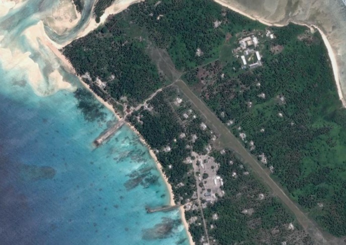
Outer Island Ports/Docks/ Beach Landings
|
||||||
|
Type of Landing |
Island /closest anchorage point |
Dock /Landing point coordinates |
|
|||
|
MISCO Shipping schedule |
Central |
|
|
|||
|
Ailinglaplap |
Airuk |
Beach Landin 7.278972673236125 168.81870996586153 |
|
|||
|
Buoj |
Dock 7.293089262585391 168.7474942857614 |
|
||||
|
Mejel |
Beach landing 7.525701269694868 168.93637197441956 |
|
||||
|
Jeh |
Beach Landing 7.489148187347603 168.93734764520002 |
|
||||
|
Jih |
Dock 7.571120145724416 168.96416699391492 |
|
||||
|
Woja |
Beach landing 7.454443584798353 168.5560680785694 |
|
||||
|
2. Jabat Island |
||||||
|
Type of Landing |
Island /closest anchorage point |
Dock /Landing point coordinates |
|
|||
|
MISCO Shipping schedule |
Central |
|
|
|||
|
Jabat |
Jabat |
Beach Landing 7.752736403050417 168.9744310256797 |
|
|||
|
3. Lib |
||||
|
Type of Landing |
Island /closest anchorage point |
Dock /Landing point coordinates |
|
|
|
MISCO Shipping schedule |
Central |
|
|
|
|
Lib |
Lib |
Beach Landing 8.313945043397238 167.3739630274932 |
|
|
|
3. Namu |
||||
|
Type of Landing |
Island /closest anchorage point |
Dock /Landing point coordinates |
|
|
|
MISCO Shipping schedule |
Central |
|
|
|
|
Namu
|
Loen |
Beach Landing 7.756227929774418 168.24056672275293 |
|
|
|
Mae |
Beach Landing 7.826590941242932 168.30356807857308 |
|
||
|
Majkin |
Beach Landing 8.15878566388828 168.1798820553608 |
|
||
|
Namu |
Beach Landing 8.186407827793964 167.98363358015862 |
|
||
|
4. Arno |
||||
|
Type of Landing |
Island /closest anchorage point |
Dock /Landing point coordinates |
|
|
|
MISCO Shipping schedule |
Eastern |
|
|
|
|
Arno
|
Arno |
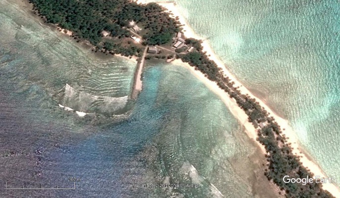
Dock and Ramp 7.049070004598885 171.5652887227462 |
|
|
|
Bikarej |
Beach Landing 7.077702287535427 171.86033163809094 |
|
||
|
Ine |
Beach Landing 6.983738783872174 171.69712543438433 |
|
||
|
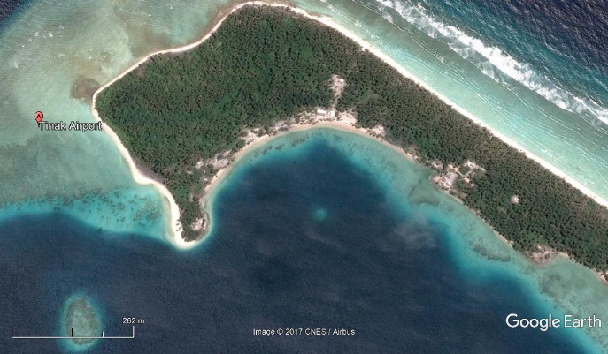
Tinak |
Beach Landing 7.127445557474433 171.92331153623851 |
|
||
|
Igoen |
Beach Landing 7.033834602940731 171.77782090925442 |
|
||
|
5. Aur |
||||
|
Type of Landing |
Island /closest anchorage point |
Dock /Landing point coordinates |
|
|
|
MISCO Shipping schedule |
Eastern |
|
|
|
|
Aur |
Aur |
Beach Landing 8.148505248583573 171.16942592367437 |
|
|
|
Tabal |
Beach Landing 8.299944937497461 171.1580238074143 |
|
||
|
6. Mili |
||||
|
Type of Landing |
Island /closest anchorage point |
Dock /Landing point coordinates |
|
|
|
MISCO Shipping schedule |
Eastern |
|
|
|
|
Namu |
Enajet |
Beach Landing 6.088216018777342 171.7372434515746 |
|
|
|
Mili |
Beach Landing 6.090343305222602 171.7367393208658 |
|
||
|
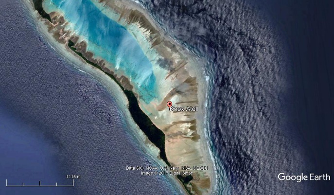
Nadikdik (Knox) |
Beach Landing 5.883599802139273 172.16358953622867 |
|
||
|
Nallu |
Beach Landing 6.209481695062038 171.7199924507786 |
|
||
|
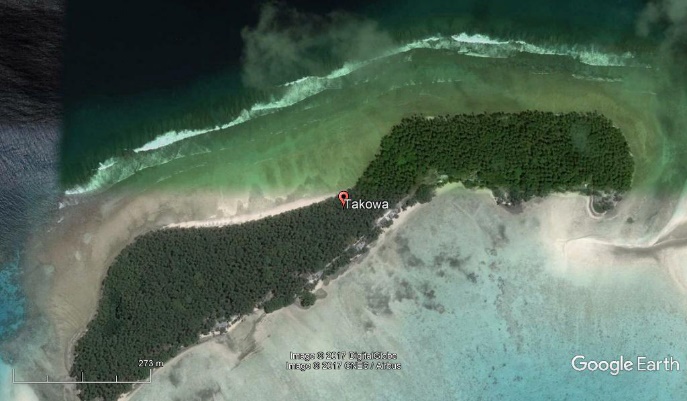
Tokewa |
Beach Landing 6.225779970584474 171.7989211804117 |
|
||
|
7. Ailuk |
||||
|
Type of Landing |
Island /closest anchorage point |
Dock /Landing point coordinates |
|
|
|
MISCO Shipping schedule |
Northern |
|
|
|
|
Ailuk |
Ailuk |
Dock 10.221480487126021 169.9792324723317 |
|
|
|
Enejelar |
Beach Landing 10.448575661203071 169.95664553627887 |
|
||
|
8. Likiep |
|||||
|
Type of Landing |
Island /closest anchorage point |
Dock /Landing point coordinates |
|
||
|
MISCO Shipping schedule |
Northern |
|
|
||
|
Likiep
|
Likiep |
Beach Landing 9.82749634234143 169.30565128642183 |
|
||
|
Jebal |
Beach Landing 9.878512260524785 169.27760964187775 |
|
|||
|
Melang |
Beach Landing 9.891490994990182 169.2686428892189 |
|
|||
|
Liklal/Mwaat |
Beach Landing 10.040686249697092 169.0012312437119 |
|
|||
|
9. Maloelap |
|||||
|
Type of Landing |
Island /closest anchorage point |
Dock /Landing point coordinates |
|
||
|
MISCO Shipping schedule |
Northern |
|
|
||
|
Maloelap |
Airok |
Beach Landing 8.498054670879343 171.18723103429213 |
|
||
|
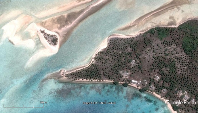
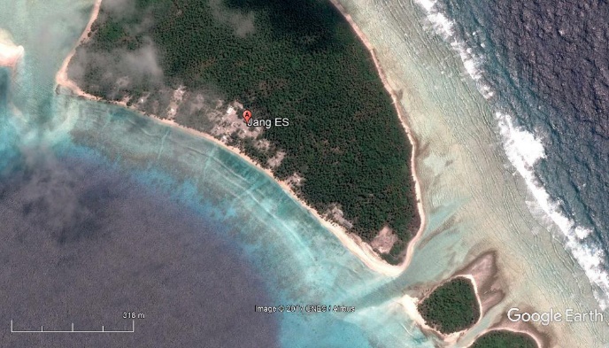
Jang |
Beach Landing 8.857786215061914 171.06562036694598 |
|
|||
|
Kaben |
Beach Landing 8.891227590241586 170.8352565362574 |
|
|||
|
Taroa |
Jetty 8.704338362690619 171.2241782504858 |
|
|||
|
10. Mejit |
|||
|
Type of Landing |
Island /closest anchorage point |
Dock /Landing point coordinates |
|
|
MISCO Shipping schedule |
Northern |
|
|
|
Mejit |
Mejit |
Beach Landing 10.2853063379622 170.86724414001506 |
|
|
11. Utrik |
|||
|
Type of Landing |
Island /closest anchorage point |
Dock /Landing point coordinates |
|
|
MISCO Shipping schedule |
Northern |
|
|
|
Utrik |
Utrik |
Landing 11.22441728683106 169.84449797295844 |
|
|
12. Wotje |
|||
|
Type of Landing |
Island /closest anchorage point |
Dock /Landing point coordinates |
|
|
MISCO Shipping schedule |
Northern |
|
|
|
Wotje
|
Enepin |
Beach Landing 9.384174792690398 170.19805599393595 |
|
|
Kaijen |
Beach Landing 9.526428417068697 169.87610026510177 |
|
|
|
Kimejo |
Beach Landing 9.521323648345126 169.9520330357514 |
|
|
|
Nibun |
Beach Landing 9.369264526312813 170.0540790021287 |
|
|
|
Wormej |
Beach Landing 9.519453732174876 169.95288854756564 |
|
|
|
Wotje |
Jetty 9.459933649337781 170.23107880742867 |
|
|
|
13. Ebon |
|||
|
Type of Landing |
Island /closest anchorage point |
Dock /Landing point coordinates |
|
|
MISCO Shipping schedule |
Southern |
|
|
|
Ebon
|
Ebon |
Jetty 4.603121587813584 168.7596934037513 |
|
|
Enekoion |
Beach Landing 4.666726377715214 168.66529756969294 |
|
|
|
Toka |
Beach Landing 4.635696440823564 168.65273817963254 |
|
|
|
14. Jaluit |
|||
|
Type of Landing |
Island /closest anchorage point |
Dock /Landing point coordinates |
|
|
MISCO Shipping schedule |
Southern |
|
|
|
Jaluit |
Bokanake |
Beach Landing 6.283792288150873 169.4116348073954 |
|
|
Imiej |
Dock 6.012980720371536 169.7191777227379 |
|
|
|
Imroj |
Beach Landing 6.071099710551296 169.6080989092467 |
|
|
|
Jabwor |
Dock 5.92050209788867 169.64147482459015 |
|
|
|
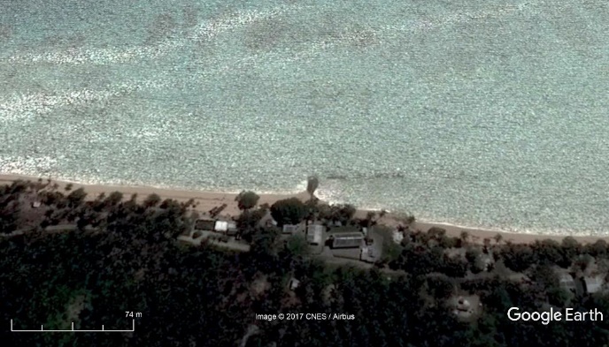
Jaluit |
Jetty 5.793109364415639 169.60133534971973 |
|
|
|
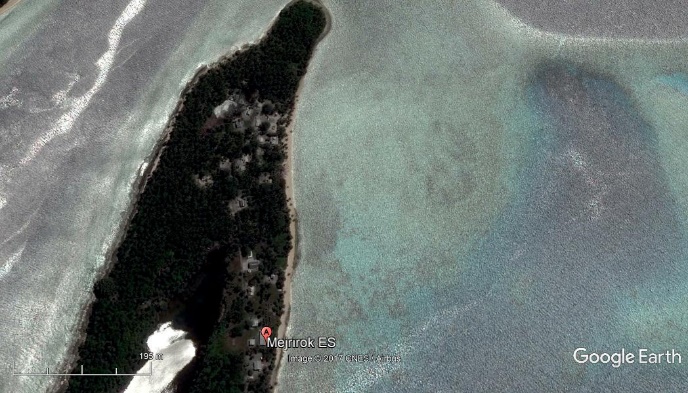
Mejrirok |
Beach Landing 5.866634464988229 169.52524580739242 |
|
|
|
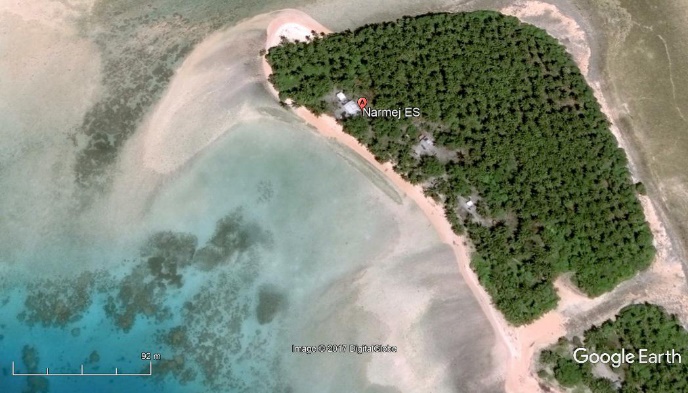
Narmej |
Beach Landing 6.2494882 169.5019869 |
|
|
|
15. Namdrik |
|||
|
Type of Landing |
Island /closest anchorage point |
Dock /Landing point coordinates |
|
|
MISCO Shipping schedule |
Southern |
|
|
|
Namdrik |
Namdrik |
Beach Landing 5.6011765794721295 168.10300526506293 |
|
|
16. Kili |
||||
|
Type of Landing |
Island /closest anchorage point |
Dock /Landing point coordinates |
|
|
|
MISCO Shipping schedule |
Southern |
|
|
|
|
Kili |
Kili |
Beach Landing 5.640272032816072 169.11314348153246 |
|
|
|
17. Enewetok |
||||
|
Type of Landing |
Island /closest anchorage point |
Dock /Landing point coordinates |
|
|
|
MISCO Shipping schedule |
Southern |
|
|
|
|
Enewetok |
Enewetak |
Dock 11.3427652 162.3225101 |
|
|
|
Medren |
Beach Landing N112359.74 E1622204.44 |
|
||
|
Japtan |
Beach Landing 11.4248616 162.3828712 |
|
||
|
18. Lae |
|||
|
Type of Landing |
Island /closest anchorage point |
Dock /Landing point coordinates |
|
|
MISCO Shipping schedule Lae
|
Southern |
|
|
|
Lae |
Beach Landing 8.9253114 166.2645827 |
|
|
|
19. Ujae |
|||
|
Type of Landing |
Island /closest anchorage point |
Dock /Landing point coordinates |
|
|
MISCO Shipping schedule |
Southern |
|
|
|
Ujae |
Ujae |
Beach Landing 8.9339952 165.7576243 |
|

|
20. Wotho |
||||
|
Type of Landing |
Island /closest anchorage point |
Dock /Landing point coordinates |
|
|
|
MISCO Shipping schedule |
Southern |
|
|
|
|
Wotho
|
Wotho |
Beach landing 10.1736084 166.007453 |
|
|
|
Maurwon |
Beach Landing 10.0180495 166.022873 |
|
||
|
21. Kwajalein |
||||
|
Type of Landing |
Island /closest anchorage point |
Dock /Landing point coordinates |
|
|
|
MISCO Shipping schedule |
Southern |
|
|
|
|
Kwajalein |
Ebeye |
Dock 8.7791352 167.736735 |
|
|
|
Ebeye |
RoRo Landing 8.7839739 167.7360338
|
|
||
|
Mejatto |
Beach Landing 9.3095139 166.8797957 |
|
||
|
Ebadon |
Beach Landing 9.3270452 166.8322725 |
|
||
|
Kwajalein |
Dock 8.730174 167.7356949
|
|
||
|
Guegeegue |
Dock 8.848106627271056 167.74168845155657 |
|
||