Nepal - 2.2.41 Syangboche Domestic Airport
Airport Overview
|
|
|
Pic: Aerial view of Syangboche Airport |
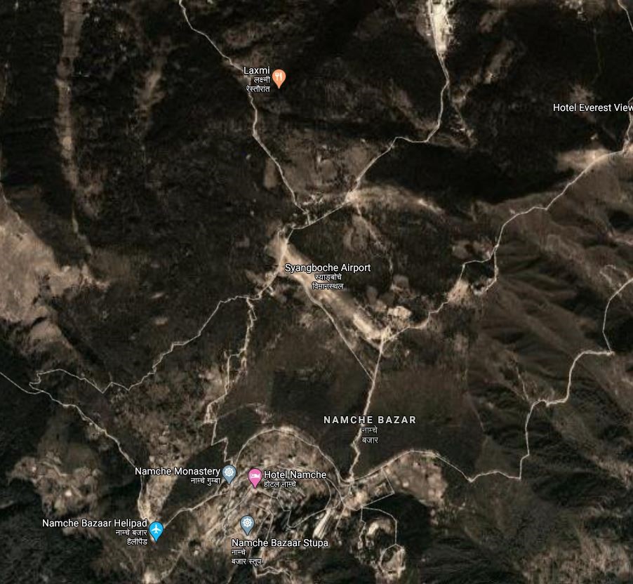
Syangboche Airport is situated at Kumjung Municipality of Solukhumbu District, Koshi Province. It is the gateway to the Mount Everest and is a STOL airport. The airport lies inside the Sagarmatha National Park. Nowadays, this airport is not in operation. It is 37 kms due NNE of the District HQ in Namche Bazar with limited road access.
It is one of the four airports (Tenzing-Hillary Airport, Kangel Danda Airport, and Phaplu Airport) in Solukhumbu district. The airport is not in operation.
|
Airport Location and Contact |
|
|---|---|
|
Country |
Nepal |
|
Province or District |
Koshi Province/ Solukhumbu |
|
Nearest Town or City |
In proximity of Namche Bazaar |
|
Airport’s Complete Name |
Syangboche Airport |
|
Latitude |
27.81141 |
|
Longitude |
86.71259 |
|
Elevation (ft and m) |
12293 ft./3748 m. |
|
IATA Code |
SYH |
|
ICAO Code |
VNSB |
|
Managing Company or Airport Authority |
Civil Aviation Authority of Nepal, Syangboche Airport AFS: VNSBYDYX |
|
Management Contact Person |
|
|
NGO and/or UN Presence at Airport? |
NO |
Runway
|
Runway #1 |
|
|---|---|
|
Runway Dimensions |
1328 × 100 ft (405 × 30 m) |
|
Runway Orientation |
13/31 -
|
|
Runway Surface |
Earthen |
|
Runway Condition |
Not in Operation |
Airport Infrastructure Details
|
Infrastructure |
|||
|---|---|---|---|
|
Passenger / Cargo Security Screening |
No |
Runway Lighting |
No |
|
Refuelling Capacity |
NO |
Ground Handling Services |
N/A |
|
Air Traffic Control |
AFIS, VFR |
Fire Fighting Equipment |
No |
|
Weather Information |
No |
Aircraft Parking Space |
No |
|
Navigation Aids |
No |
Perimeter Fencing |
N/A |
|
Windsock |
|
|
|
Fuel Services Charges
N/A
Royalties / Non Objection Fees (NOFs)
N/A