Chad - 2.2.13 Chad Bahai National Airport
Airport Overview
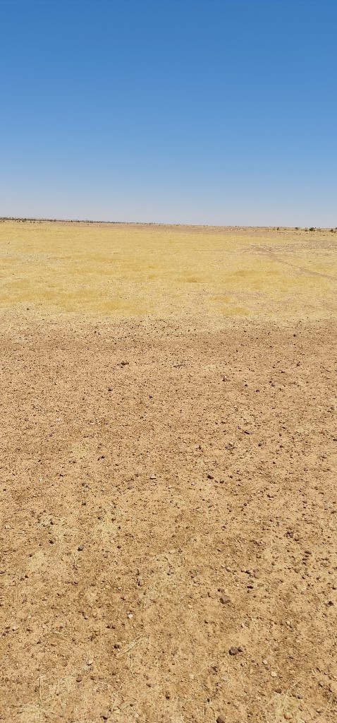
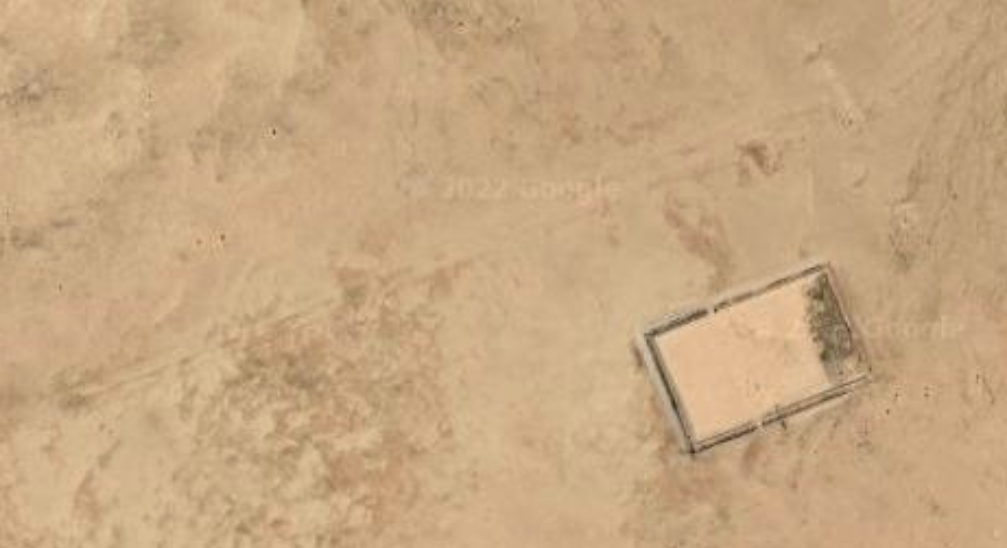
The landing strip is used on an occasional basis by humanitarian agencies. The airfield has been abandoned and there are no operating facilities currently.
|
Airport Location and Contact |
|
|---|---|
|
Country |
Chad |
|
Province or District |
Ennedi Est |
|
Nearest Town or City |
Amdjarass 43.1 km |
|
Latitude |
15.63263° |
|
Longitude |
22.89738° |
|
Elevation (ft and m) |
2683 ft/ 818 m |
|
NGO and/or UN Presence at Airport? |
No |
Airport Picture
Runway(s)
|
Runway #1 |
|
|---|---|
|
Runway Dimensions |
1650 m x 25 m |
|
Runway Orientation |
RWY 07/ RWY 25 |
|
Runway Surface |
Sand/loose gravel |
|
Runway Condition |
Passable |
Airport Infrastructure Details
|
Infrastructure |
|||
|---|---|---|---|
|
Passenger / Cargo Security Screening |
No |
Runway Lighting |
No |
|
Refuelling Capacity |
No |
Ground Handling Services |
No |
|
Air Traffic Control |
No |
Fire Fighting Equipment |
No |
|
Weather Information |
No |
Aircraft Parking Space |
No |
|
Navigation Aids |
No |
Perimeter Fencing |
No |
|
Windsock |
No |
|
|