
Airport Overview
The Magway Airport was constructed on 818.82 acres of land. It was opened on 6 June 2003 but was operational only for a few years. Since 2006, no airplane has landed in the region and the airport has been mainly used by the military for training (Magway Airforce Training Center) located on the opposite side of the runway. At the request of the Magway Regional Government, the Ministry of Transport and Communications resumed flight service starting from May 2019. Only Myanmar National Airline is currently operating Yangon-Magway and Magway-Sittwe twice a week on Mondays and Fridays. The runway includes a taxiway. Based on the above assessment, Magway airport is not ideal to be used in humanitarian response operation. Magway itself is generally accessible by road transportation.
|
Airport Location and Contacts |
|
|
Country |
Myanmar |
|
Province / District |
Magway |
|
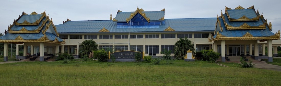
Airfield Name |
Magway Airport |
| Nearest City to the Airport | Magway (6km) |
| Latitude |
20.157778 |
| Longitude |
94.973056 |
| IATA Code |
MWQ |
| ICAO Code | VYMW |
|
Elevation |
90.9 m / 298 ft |
| Managing Company or Airport Authority | Department of Civil Aviation |
| Management Contact Person |
Mr.Min Aung, Staff Officer 1 Tel:+959 4500 57761, Tel: +95 63 23713 |
|
NGO / UN (on ground) |
No |
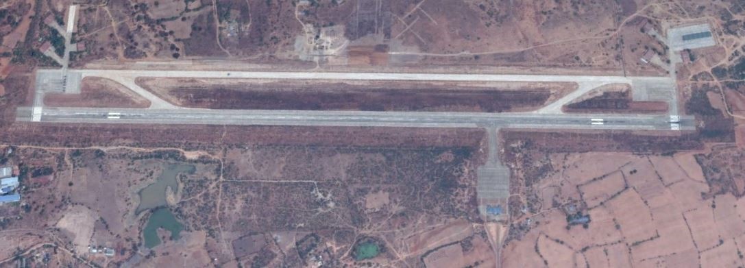
Runway
| Runway # 1 | |
|---|---|
| Runway Dimensions | 2591m x 61m |
| Runway Orientation | 19/01 |
| Runway Surface | Concrete, 165,000kg |
| Runway Condition | Good |
Airport Infrastructure Details
| Infrastructure | |||
|---|---|---|---|
| Passenger / Cargo Security Screening | Yes | Runway Lighting | Yes, edge lighting |
| Refueling Capacity | No | Ground Handling Services | No |
| Air Traffic Control | Yes | Fire Fighting Equipment | Yes, CAT 2 |
| Weather Information | Yes | Aircraft Parking Space | Apron 122m x 122m |
| Navigation Aids | Yes, NDB | Perimeter Fencing | Yes |
| Windsock | Yes, 2 | ||
Fuel Services Charges
N/A. In case of emergency, Jet-A1 fuel can be provided by the military (Magway Airforce Training Center).
Royalties / Non Objection Fees (NOFs)
n/a
