
Airport Overview
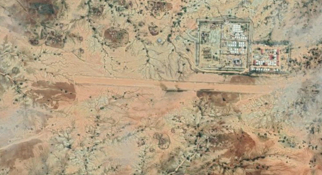
The Farchana airfield is an unfenced, unprotected airfield typically used by humanitarian planes. Located near a military base, the airfield has basic security measures including a scale and metal detectors. The airstrip is unusable during the wet season as there are gullies near the airfield which overflow and flood the landing strip.
|
Airport Location and Contact |
|
|---|---|
|
Country |
Chad |
|
Province or District |
Ouaddai |
|
Nearest Town or City |
Abeche 119 km |
|
Airport’s Complete Name |
Farchana National Airport |
|
Latitude |
13.57222° |
|
Longitude |
21.8525° |
|
Elevation (ft and m) |
2831 ft / 863 m |
|
Managing Company or Airport Authority |
ADAC |
|
Management Contact Person |
Ngarpeni Madjirebe |
|
NGO and/or UN Presence at Airport? |
No |
Airport Picture
Runway(s)
|
Runway #1 |
|
|---|---|
|
Runway Dimensions |
1100 m x 45 m |
|
Runway Orientation |
RWY 09 / RWY 27 |
|
Runway Surface |
Gravel |
|
Runway Condition |
Good |
Airport Infrastructure Details
|
Infrastructure |
|||
|---|---|---|---|
|
Passenger / Cargo Security Screening |
No |
Runway Lighting |
No |
|
Refuelling Capacity |
No |
Ground Handling Services |
No |
|
Air Traffic Control |
No |
Fire Fighting Equipment |
No |
|
Weather Information |
No |
Aircraft Parking Space |
No |
|
Navigation Aids |
Yes |
Perimeter Fencing |
No |
|
Windsock |
Yes |
Windshield |
Yes |
