
Airport Overview
This airport is less than 1 km from the M12 highway and 8 km from Chipata town. The runway and apron is asphalt and in moderate condition but is little used. Only charter flights use the airport. Civil Aviation indicates that there will be revitalisation in the near future.
|
Airport Location and Contact |
|
|---|---|
|
Country |
Zambia |
|
Province or District |
Chipata District, Eastern Province |
|
Nearest Town or City with Distance from Airport |
Chipata (8 km) |
|
Airport’s Complete Name |
Chipata Airport |
|
Latitude |
-13.56293 |
|
Longitude |
32.58947 |
|
Elevation (ft and m) |
3,359 ft / 1,024 m |
|
IATA Code |
CIP |
|
ICAO Code |
FLCP |
|
Managing Company or Airport Authority |
Zambia Airports Corporation Limited Box 510105 Chipata Airport |
|
Management Contact Person |
Mr. George Chisala, Manager Airdromes +260975451575 / 0950707421 |
|
NGO and/or UN Presence at Airport? |
No |
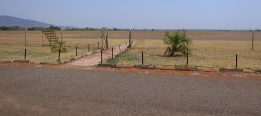
Chipata Apron
Runway
|
Runway #1 |
|
|---|---|
|
Runway Dimensions |
1470 m X 21 m |
|
Runway Orientation |
17/35 |
|
Runway Surface |
Asphalt |
|
Runway Condition |
Moderate |
Airport Infrastructure Details
|
Infrastructure |
|||
|
Passenger / Cargo Security Screening |
Yes (xray m/c, scanners at terminal) |
Runway Lighting |
No |
|---|---|---|---|
|
Refueling Capacity |
Yes (Fuel installed by ZAF), 40,000 liters |
Ground Handling Services |
No |
|
Air Traffic Control |
Yes (airdrome flight info services, not operational at night) |
Fire Fighting Equipment |
Yes (Ambulance, fire engine) |
|
Weather Information |
Yes (Met Department) |
Aircraft Parking Space |
Yes |
|
Navigation Aids |
Yes (NDRB 218 Khz) |
Perimeter Fencing |
No (plans are underway) |
|
Windsock |
Yes (Available) |
|
|
Landing and Parking Fees
Domestic airport tax: USD 10
Fuel Service Charges
N/A
Royalties / Non-Objection Charges
N/A
